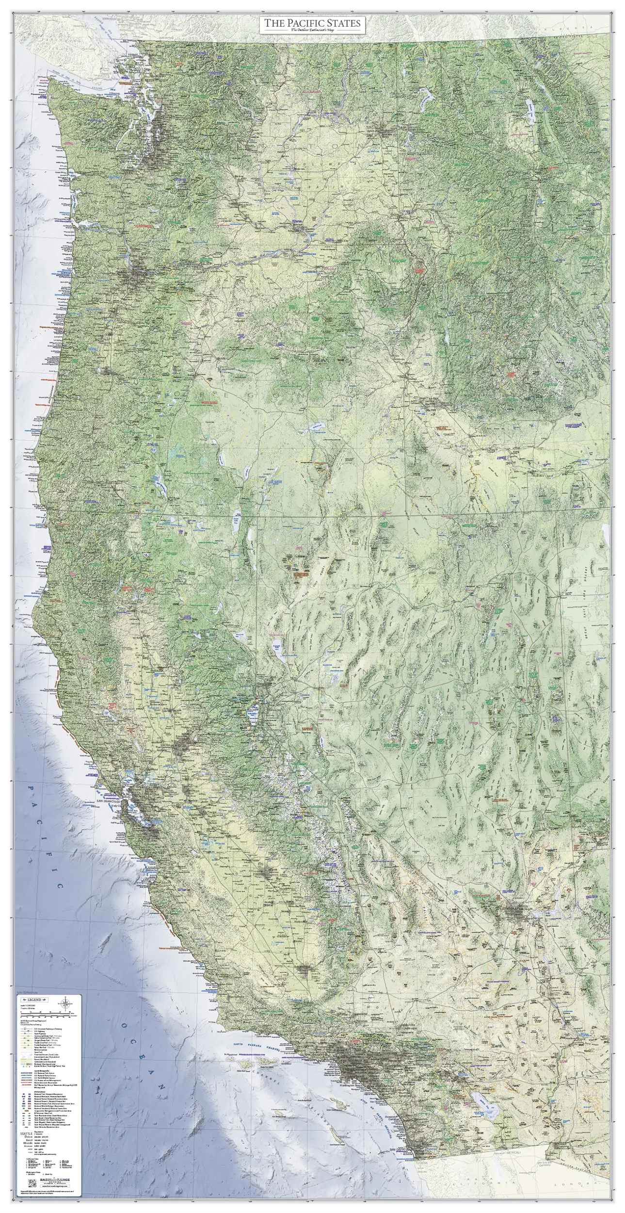
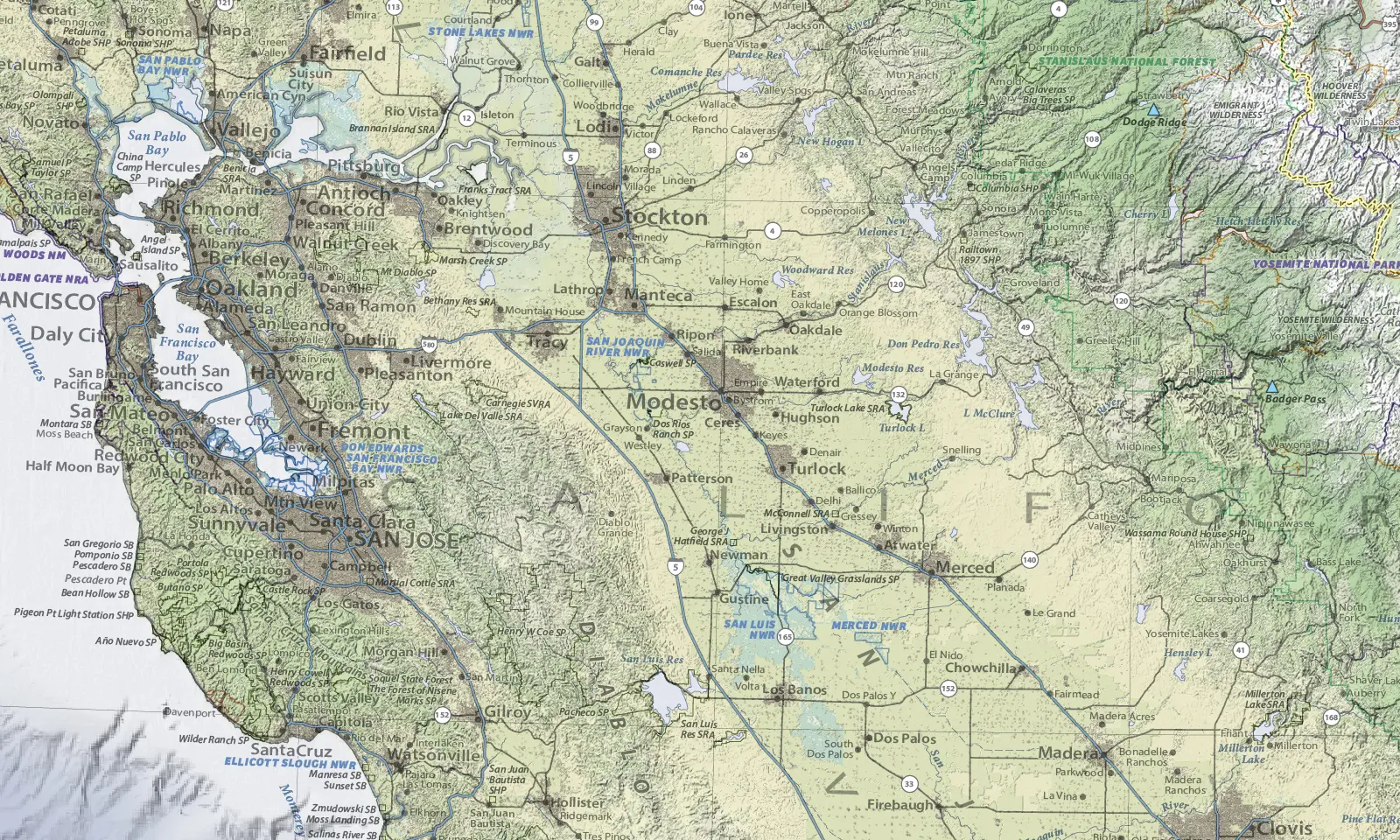
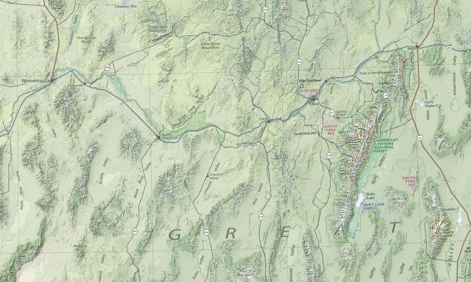
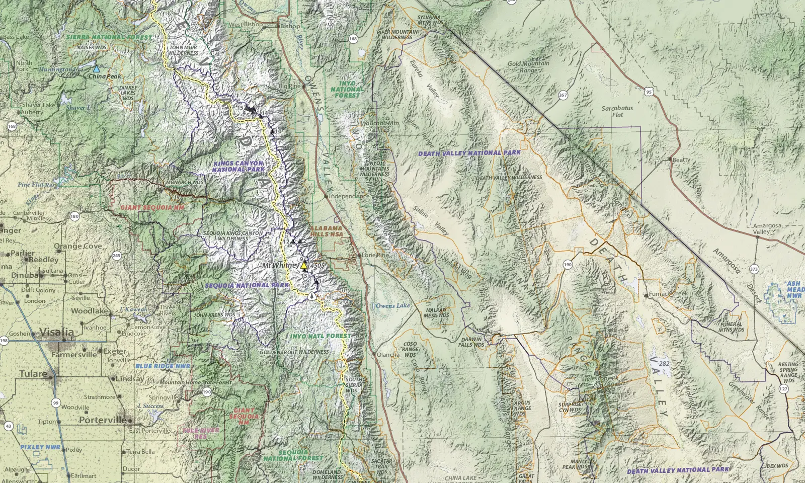
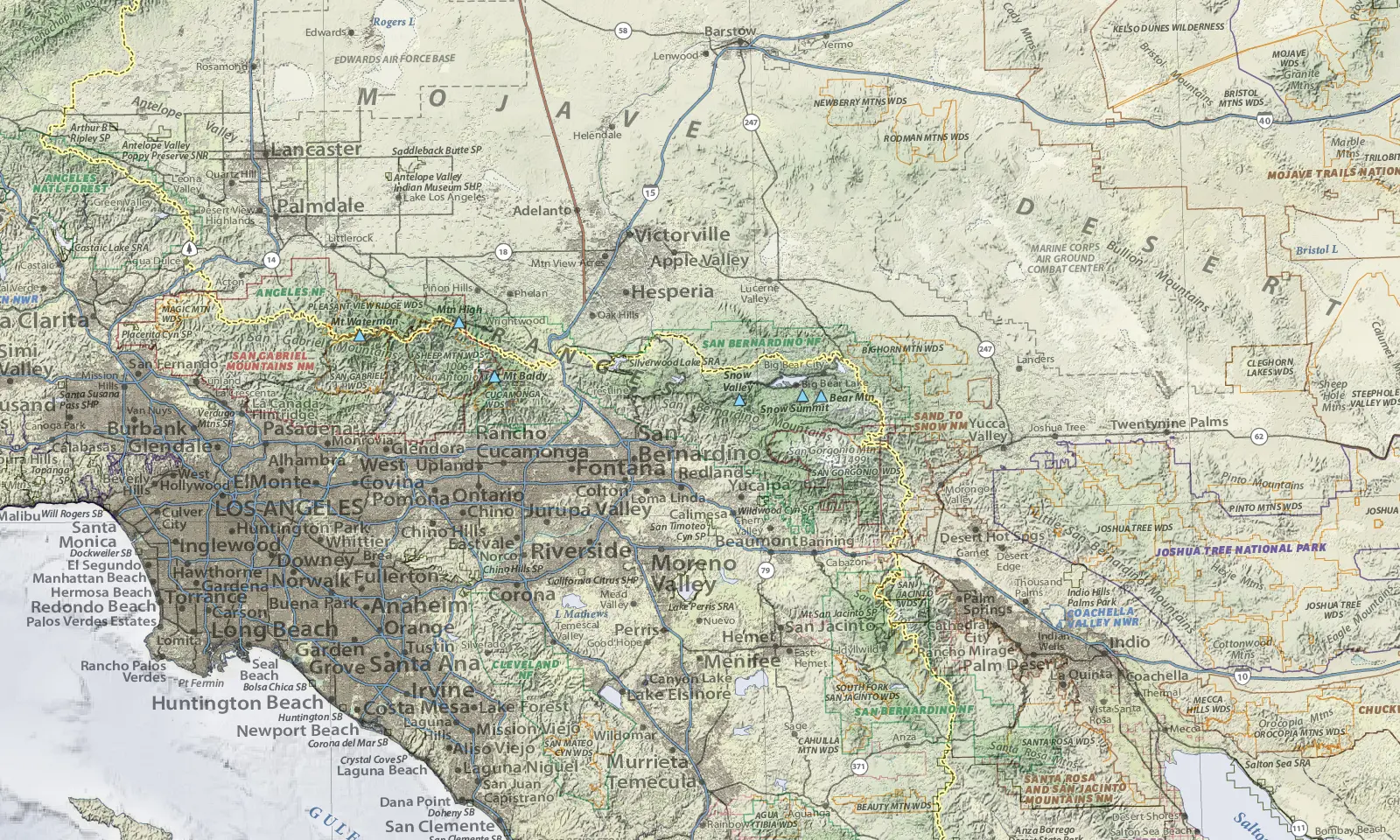
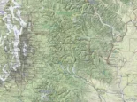
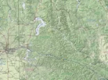
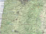
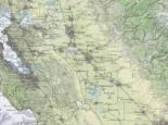
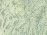
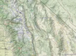
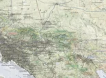
The three Basin and Range Mapping regional United States maps were created for outdoor enthusiasts who consider road tripping to new outdoor destinations a life necessity. They are the perfect resource for planning a future trip, or recalling past trips. The base of these maps is a unique combination of hypsometric elevation coloring combined with shaded relief and six types of land cover: forest, sagebrush, cropland, grassland, wetland, and urban areas.
This Pacific States map includes:
- 2082 Cities and Towns
- 46 National Park Service Units
- 51 National Forests and National Grasslands
- 82 National Wildlife Refuges
- 25 Bureau of Land Management National Monuments
- 342 Designated Wilderness Areas
- 601 State Parks
- 88 Alpine Ski Areas
- 6 Long Distance Trails:
- Continental Divide Trail (partial)
- Idaho Centennial Trail
- Oregon Desert Trail
- Pacific Crest Trail
- Pacific Northwest Trail
- Tahoe Rim Trail
The size and scale of this map was chosen to be able to clearly show all of these features, yet also cover from Canada to Mexico. The scale also matches the other two regional United States maps.
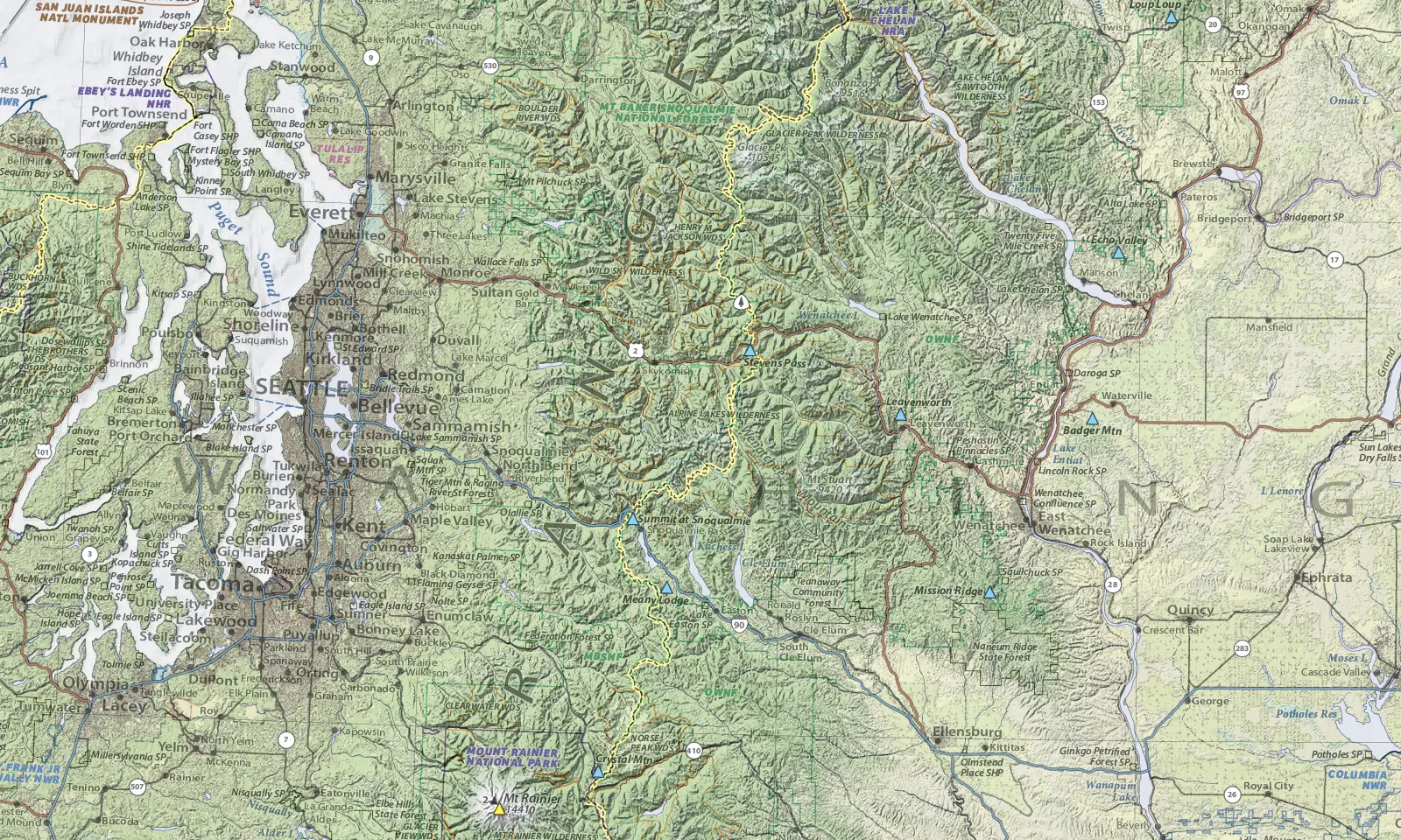
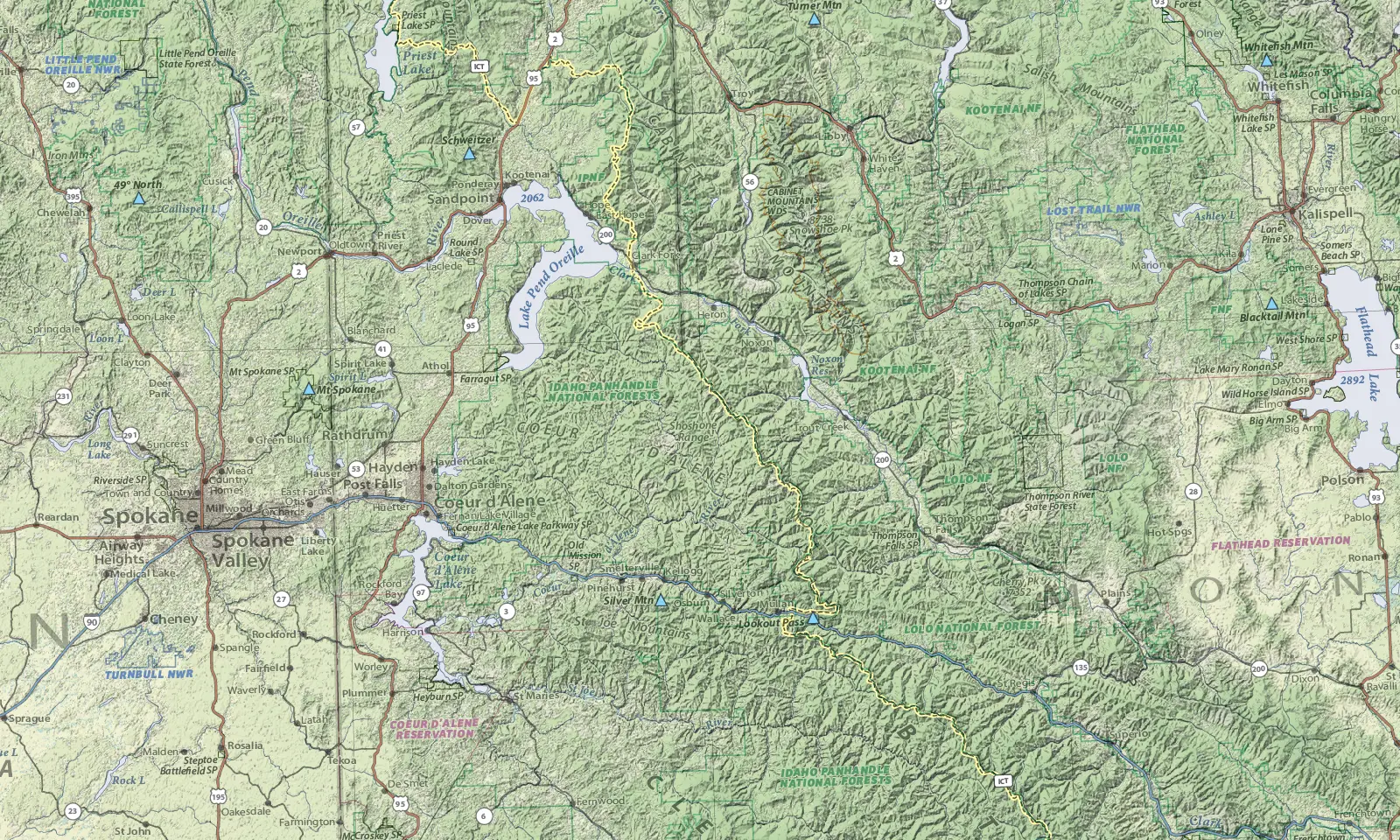
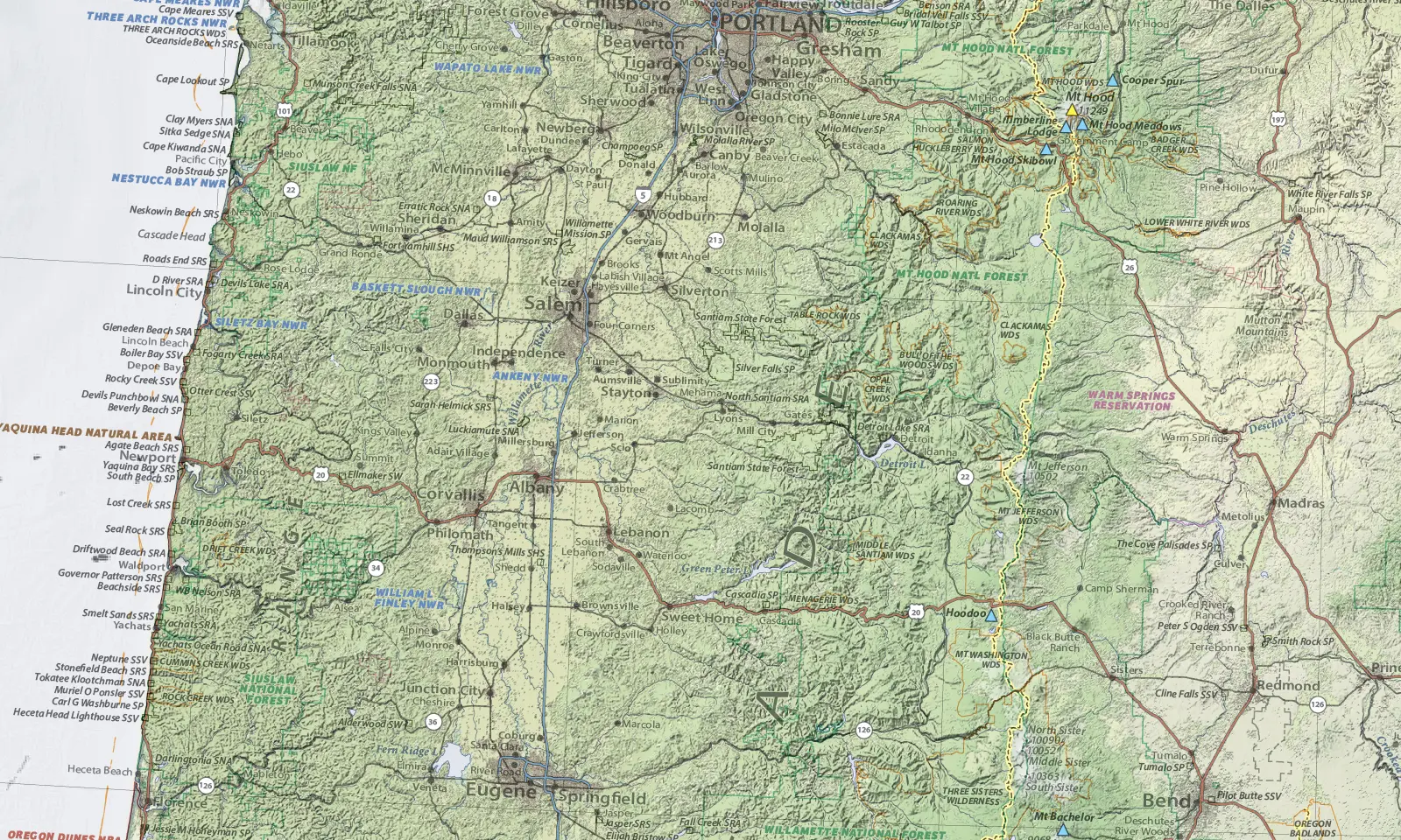
Map Detail Images
size 32 x 62 inches
scale 1:1,267,200 (1 inch = 20 miles)
price $149
